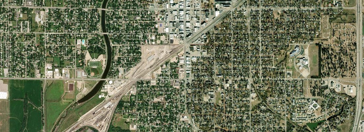
The Harvey County Geographic Information System, more commonly referred to as GIS, is a data mapping service used to aid in planning and as a source of information for geographic data.
Click here to view the County GIS web mapping site. There, you can view and print maps with layers such as property ownership, flood maps, taxing units, fire districts and school districts. Here are a few frequently requested maps.
County Road Map (small)
County Road Map (large)
County School District Map
County Tax Unit Map
You can also find direct links to whole-County interactive maps through the following links:
Polling Location Finder
Property Appraisal Data Search
National Flood Hazard Viewer (Federal Emergency Management Agency)
Letter of Map Change (Kansas Department of Agriculture)


